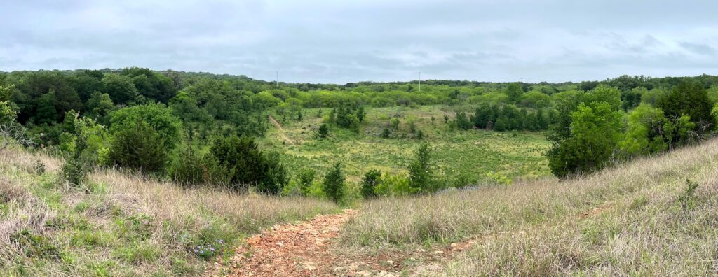
Mapping ‘Flash Flood Alley’: LAN Built a Digital Twin Hydraulic Model for the City of San Marcos (Source: Autodesk)
By Autodesk Staff
Along the busy highway corridor between the ever-expanding exurbs of Austin and San Antonio lies the City of San Marcos, Texas – or as locals like to call it, San Marvelous. This municipality is growing, too, at an even faster rate than its larger neighbors. In fact, a full decade ago San Marcos was on the list of fastest growing cities in the US. Since then, it has struggled to keep up with development.
What makes developing extra difficult in this area isn’t just keeping up with the extraordinary demand; it’s that this place is located smack dab in the middle of Flash Flood Alley, a legendary area along the Balcones Escarpment that is one of the most flood-prone regions on the continent. Situated by the San Marcos River, the Blanco River, and Purgatory Creek, this area has been flooding for as long as people have been living here, which has been estimated to be around 10,000 years. With this growing population, consulting firm LAN was brought in to evaluate the current stormwater network and determine its flood resiliency.

